Amir Werner · 30 September 2026
Highland Settlement Patterns and Their Effects on Seasonal Water Flow in Areas Around Yarrowridge
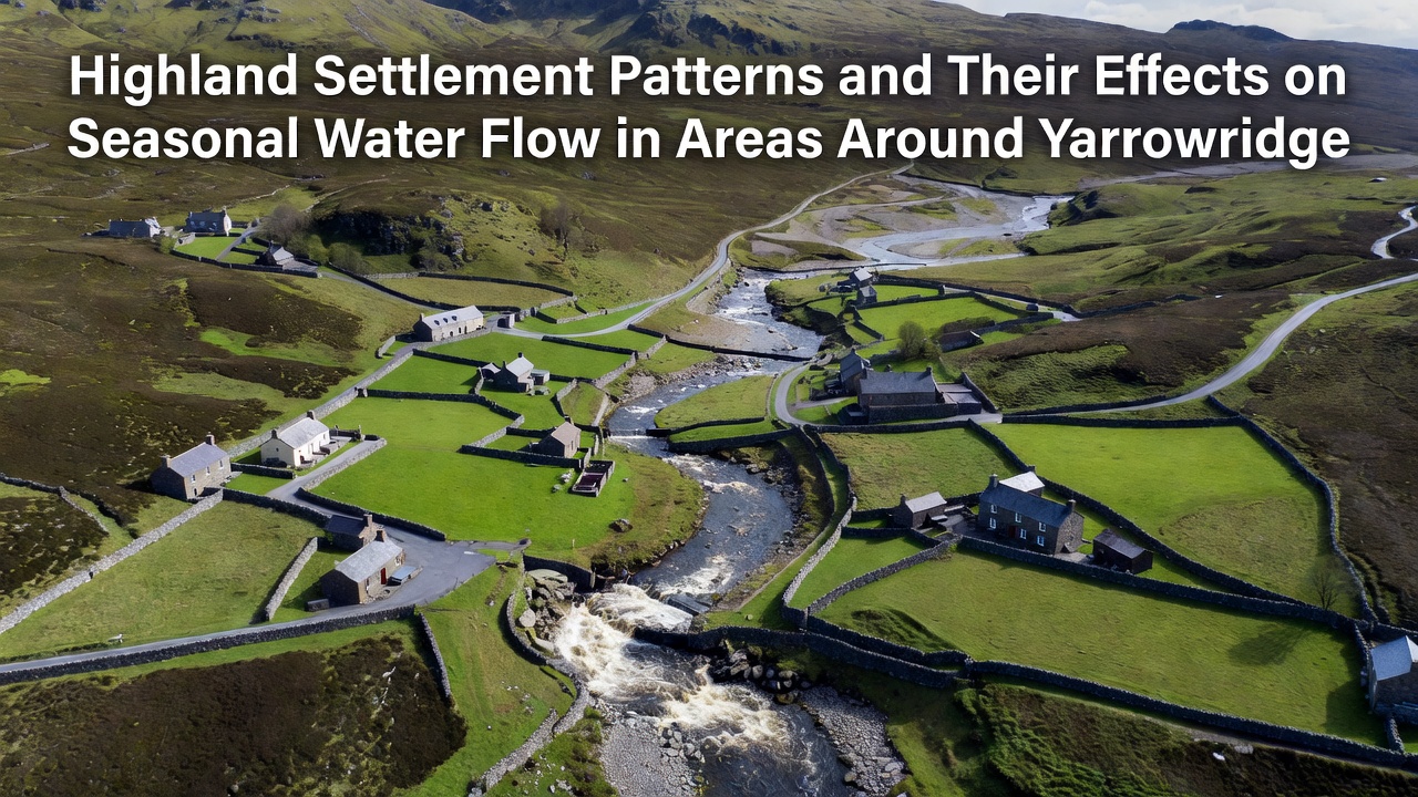
In the highland regions surrounding Yarrowridge, settlement patterns have developed over centuries in ways that influence how water moves through the landscape during different seasons, and observers note that these arrangements often cluster along ridges and valleys where access to resources remains consistent throughout the year. Traditional placements favor elevated sites above flood-prone lowlands while still near reliable springs, which creates distinct drainage pathways that channel runoff differently as precipitation levels shift from one season to the next.
Historical Development of Settlement Layouts
Early inhabitants established villages on south-facing slopes because these locations offered better sunlight exposure and reduced snow accumulation during winter months, yet the same positioning directs snowmelt toward specific stream networks in spring. Researchers have mapped these patterns across multiple highland zones around Yarrowridge and found that linear arrangements along contour lines help distribute water more evenly across agricultural terraces, whereas scattered homesteads on steeper gradients accelerate localized erosion during heavy autumn rains. Data collected through September 2026 shows that many of these older clusters still shape current water distribution networks, even as newer constructions follow updated planning guidelines.
Seasonal Water Dynamics in Highland Zones
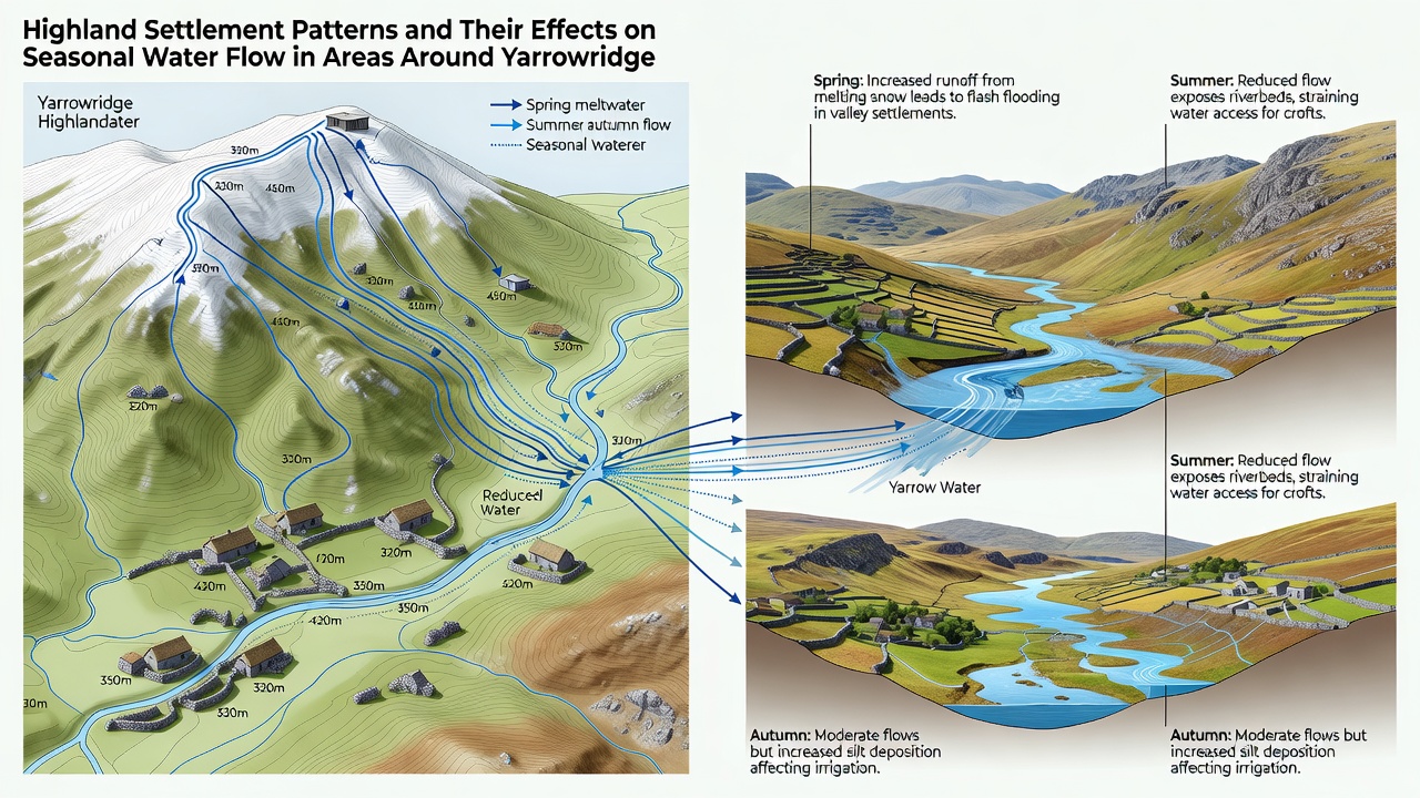
During spring thaw periods, water from melting snow travels along established paths created by centuries of foot traffic and livestock routes that connect upper settlements to lower pastures, and these routes often coincide with natural drainage lines that carry higher volumes than surrounding undisturbed slopes. Summer months bring reduced flow rates that concentrate in channels reinforced by settlement-related terracing, which maintains steady supply to downstream areas while limiting evaporation losses in exposed sections. Autumn precipitation events interact with compacted soils around settlement perimeters, leading to faster surface runoff that feeds into tributaries before reaching main river systems. Winter conditions freeze many of these pathways, yet underlying settlement infrastructure continues to guide subsurface movement toward collection points used by both human and ecological systems.
Effects of Clustered Versus Dispersed Patterns
Clustered settlements generate concentrated impervious surfaces from buildings and pathways that increase peak discharge rates during intense rainfall, whereas dispersed patterns spread this effect across broader areas and reduce localized flooding risks. One study revealed that areas with dense ridge-top villages experience quicker rises in stream levels after storms compared to zones where buildings sit farther apart on gentler inclines. Those who've studied this know that the placement of communal water storage structures near settlements also alters seasonal flow timing by capturing and releasing water in controlled amounts that would otherwise move more rapidly downslope.
Modern Observations and Measurement Data
Monitoring stations installed across the Yarrowridge highlands record flow volumes at multiple points along settlement-influenced waterways, and figures from these stations indicate that spring peaks now occur earlier than records from two decades ago while maintaining similar total volumes. According to United States Geological Survey measurements, modifications to settlement drainage around comparable highland sites have produced measurable shifts in baseflow contributions during drier periods. Researchers at regional institutions continue to track how road networks built to serve these settlements intersect with traditional water routes, creating new channels that redirect flow away from historical wetlands.
Land management records show that recent adjustments to settlement boundaries have incorporated buffer zones along major drainage lines, which slows runoff during peak seasons and supports more gradual release into lower elevation streams. Data from these zones demonstrates reduced sediment transport compared to earlier configurations where buildings stood closer to active channels. What's interesting is how older stone walls and hedgerows left from previous settlement phases still function as minor barriers that influence micro-scale water movement even after surrounding land use has changed.
Interactions With Broader Environmental Factors
Vegetation cover around settlements affects infiltration rates, and patterns of tree planting or removal near residential clusters directly impact how much water reaches subsurface aquifers versus surface streams. In zones where settlements expanded downslope over time, observers note increased interaction between household wastewater systems and seasonal groundwater tables that fluctuate with rainfall patterns. External reports from Australian water research programs on similar highland environments highlight comparable dynamics where settlement density correlates with changes in seasonal hydrographs.
Conclusion
Settlement patterns around Yarrowridge continue to shape seasonal water movement through a combination of historical layout decisions and ongoing land use practices, with measurable effects visible in flow timing, volume distribution, and sediment transport across the highland landscape. Ongoing monitoring provides updated figures that help track these interactions as conditions evolve, while established infrastructure from earlier periods remains embedded in current drainage systems.