Elena Griffin · 16 September 2026
The Unexpected Influence of Traditional Plant Knowledge on Modern Land Management Strategies in Highland Areas
Highland regions across multiple continents have long relied on plant species that stabilize soil, support grazing cycles, and maintain water flow, and researchers continue to document how these same species now guide contemporary strategies for erosion control and habitat restoration. Traditional knowledge systems identify plants such as certain ferns, grasses, and shrubs that thrive at elevation, and land managers incorporate those selections into seeding programs because field trials confirm higher survival rates compared with non-native alternatives.
Regional Patterns in Plant Selection
Observers note that communities in the Andes have maintained records of species like lupines and cushion plants for centuries, and these records show consistent use for slope stabilization during seasonal rains. Modern projects in similar elevations adopt the same plants after data from monitoring stations demonstrate reduced sediment runoff when those species cover at least thirty percent of disturbed ground. In parallel, highland zones in the Rocky Mountains feature studies that track how native bunchgrasses limit invasive spread, and agencies integrate those findings into grazing permits that rotate livestock away from fragile patches during peak growth periods.
Further north, managers in Canadian alpine meadows reference Indigenous observations of willow species that anchor stream banks, while recent inventories reveal that sites replanted with these willows retain more moisture through summer drought cycles than areas treated with standard engineering fabrics alone. The pattern repeats across hemispheres, where plant lists compiled generations ago now align with soil core samples that reveal deeper root networks and greater microbial activity.
Integration with Current Monitoring Tools
Agencies combine satellite imagery with on-ground surveys to measure plant cover changes, and results indicate that areas managed with traditional species lists show slower rates of bare soil exposure over five-year intervals. Technicians collect leaf samples to assess nutrient cycling, and the numbers match historical accounts of how certain highland herbs enrich surrounding soil without supplemental fertilizers. This alignment allows planners to adjust seed mixes before large-scale implementation, which reduces trial-and-error costs documented in earlier restoration reports.
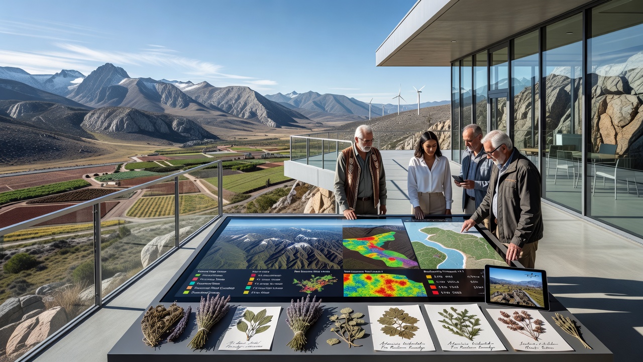
What's notable is that drone-based LiDAR now quantifies canopy density in real time, and those measurements validate older practices of spacing plants at intervals that prevent both overcrowding and wind-driven erosion. Researchers cross-reference these readings with weather station logs from September 2026, when early snowfall data will help forecast how established root systems buffer against freeze-thaw cycles that loosen topsoil. The approach yields measurable reductions in maintenance interventions, since natural plant communities require fewer mechanical interventions once established.
Case Examples from Multiple Highlands
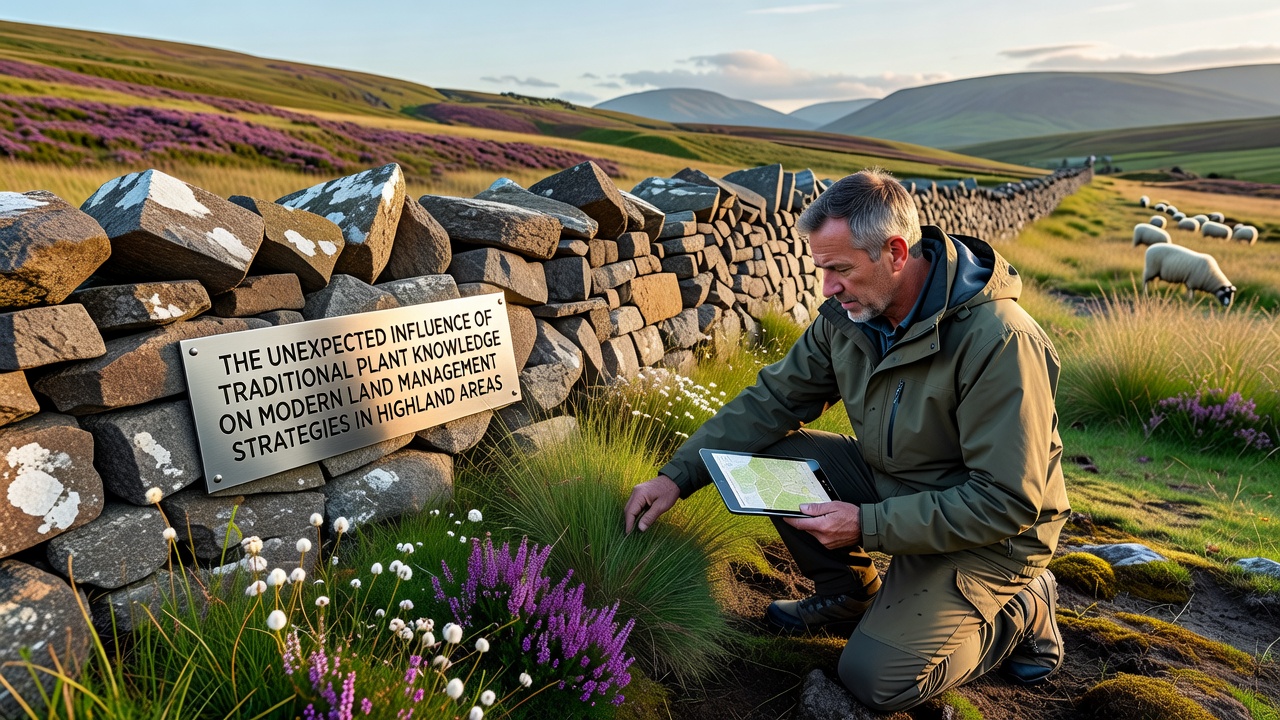
One project in the Scottish uplands replanted heather and associated mosses along access tracks, and subsequent erosion pin measurements recorded less than two millimeters of annual surface loss where prior rates exceeded ten millimeters. Similar work in Australian alpine zones uses snow gum understory species to buffer against heavy rain events, and catchment monitoring shows clearer downstream water quality readings after three growing seasons. Each case draws from local oral histories that catalogued which plants tolerated both frost heave and trampling, then pairs those records with contemporary soil chemistry tests that confirm nutrient retention patterns.
Land managers also track pollinator visits and small mammal activity, because traditional knowledge often links plant diversity to these indicators of ecosystem function. Data from motion-sensor cameras and pitfall traps align with those accounts, showing higher species counts in zones restored with multi-layer plantings rather than single-species covers. The outcome supports permit conditions that require mixed seed applications on new disturbance sites.
Policy and Training Developments
Government programs now require cultural knowledge reviews during environmental assessments, and training modules for field crews include identification of indicator species drawn from historical land-use maps. USDA Forest Service reports detail how such integration improves compliance with habitat protection standards, while separate work from Australian research institutions documents parallel gains in vegetation recovery metrics. These updates occur alongside equipment upgrades that allow crews to transplant mature specimens rather than relying solely on seed, which shortens the time to functional cover.
Conclusion
Highland land management continues to evolve through the combination of documented plant knowledge and modern measurement tools, and the resulting strategies demonstrate measurable improvements in soil stability and water retention across varied elevation zones. Ongoing monitoring through 2026 and beyond will supply additional data points that refine species lists and spacing guidelines, ensuring that established practices scale effectively to new disturbance events.